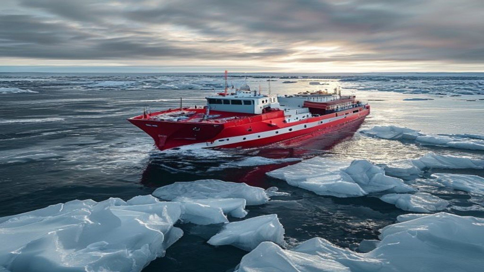
For most of recorded history the Arctic Ocean was a barrier. Multi-year sea ice made commercial transit impractical, and the region’s strategic value lay mainly in submarine warfare and early-warning radar. That is changing. Summer ice extent has declined substantially over the satellite era, and stretches of the Northern Sea Route along Russia’s coast and the Northwest Passage through the Canadian Arctic archipelago are now navigable for longer windows each year.
The distance argument
The commercial appeal is geometric. A voyage from Northeast Asia to Northern Europe via the Suez Canal covers roughly eleven thousand nautical miles. The same trip along the Northern Sea Route can be several thousand miles shorter, cutting transit time and fuel consumption. For high-value or time-sensitive cargo, that difference is meaningful.
Read more
The Global Food Chain: How Grain Moves, Where It Breaks
The caveats are substantial. Ice conditions vary year to year and within a single season. Insurance premiums for polar navigation are high. Icebreaker escort may be required and charged for. Search and rescue infrastructure across much of the route is thin, and charts for some areas remain based on sparse soundings. Sea ice records and trend data are maintained by the National Snow and Ice Data Center.
Who controls the water
Most Arctic shipping questions are governed by the United Nations Convention on the Law of the Sea, which sets territorial seas, exclusive economic zones and continental shelf claims. Coastal states may regulate ice-covered waters within their zones under a specific article of the convention, and both Russia and Canada have used that authority assertively.
The disputes are narrower than headlines suggest but real. Canada treats the Northwest Passage as internal waters requiring permission for transit; the United States and several European states regard it as an international strait with a right of transit passage. Russia requires notification, escort arrangements and fees along the Northern Sea Route. Overlapping continental shelf submissions covering the central Arctic seabed are under technical review by the relevant United Nations commission, and the framework is explained by the UN Division for Ocean Affairs and the Law of the Sea.
Read more
NATO Article 5: What Collective Defense Really Requires
Icebreakers as strategic assets
Physical access depends on icebreaking capacity, and here the asymmetry is stark. Russia operates by far the largest fleet, including nuclear-powered vessels, and has invested in new hulls and Arctic ports. Other Arctic states operate far fewer heavy breakers, and several have aging fleets with replacement programs running behind schedule. Cooperative shipbuilding arrangements among allied states have been announced to close the gap.
Beyond ships, the competition extends to satellite communications coverage at high latitudes, deep-water port capacity, airstrips, and undersea surveillance. Military exercises in the European Arctic have grown in size and frequency, and the accession of Finland and Sweden to NATO changed the regional balance considerably.
Resources under the ice
Shipping is only part of the interest. The Arctic holds significant undiscovered hydrocarbon resources, along with nickel, copper, rare earth elements and major fisheries whose ranges are shifting north as waters warm. Extraction economics remain difficult, and several announced projects have stalled on cost, sanctions or investor reluctance. But mineral demand tied to electrification keeps the region on corporate maps.
Read more
How a Bill Actually Becomes Law in the U.S. Congress
Fisheries management has been one area of genuine cooperation. An agreement covering the central Arctic Ocean established a precautionary moratorium on commercial fishing in international waters there until science can support a management regime, an unusually forward-looking arrangement in a contested space.
The governance gap
The Arctic Council, the region’s main intergovernmental forum, was built for scientific and environmental cooperation and deliberately excluded security matters. That design served well for decades and became a liability when relations deteriorated, since there was no venue for hard-security dialogue. Working-level scientific cooperation has partially resumed, but the political architecture has not fully recovered.
Meanwhile the region’s four million residents, including numerous Indigenous peoples with permanent participant status on the council, bear the practical consequences: thawing permafrost destabilizing buildings and pipelines, coastal erosion forcing village relocations, and changing animal migrations disrupting subsistence economies. Assessments of these impacts are published by the Intergovernmental Panel on Climate Change.
What comes next
Traffic along Arctic routes is growing, but it remains a fraction of Suez or Panama volumes, and most of it is destination shipping serving regional resource projects rather than through transit. The realistic near-term picture is a seasonal, specialized corridor rather than a replacement for existing trade lanes. The strategic picture is different: infrastructure, legal positions and military posture being established now will shape who benefits when the ice retreats further.